

Campsite map
Campsite map of Les Vernières and virtual tours
Find reception, the pool, the shower blocks and your future accommodation on the campsite map, then step inside thanks to the 360° tours.
- 🌳 6 hectares of wooded park
- 📍 160 pitches
- 🖱️ 11 360° tours
Find your way
The campsite map
Click on the map to enlarge it. The campsite covers 6 flat, shady hectares on the banks of the Dordogne, with pitches separated by hedges and accommodation grouped in quiet areas.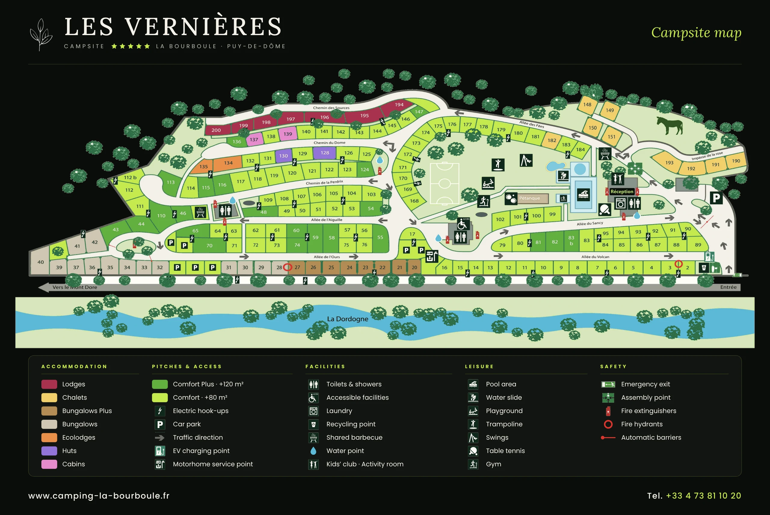
- 3 shower blocks across the grounds, one of them heated
- Premium lodges at the edge of the forest
- Bungalows in a quiet pedestrian area
- Marked-out pitches of 80 to 120 m²
Step inside
The virtual tours
Each tour opens in a new tab. Move around by clicking on the circles on the floor.
 360°
Campsite reception
Reception, the snack bar and the campsite entrance.Start the 360° tour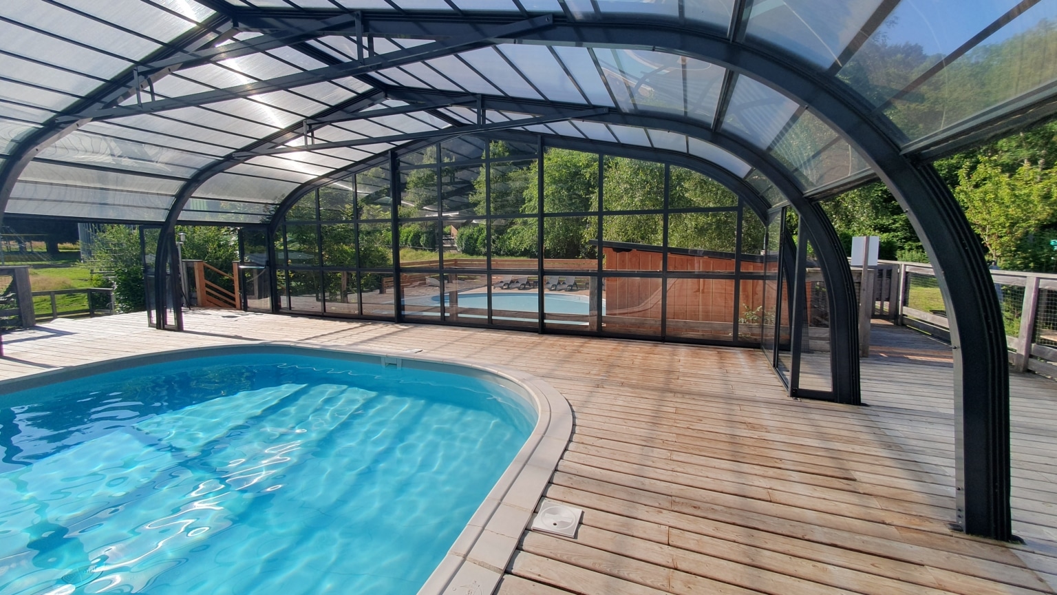 360°
Pool, fitness room and facilities
The heated indoor pool and its surroundings.Start the 360° tour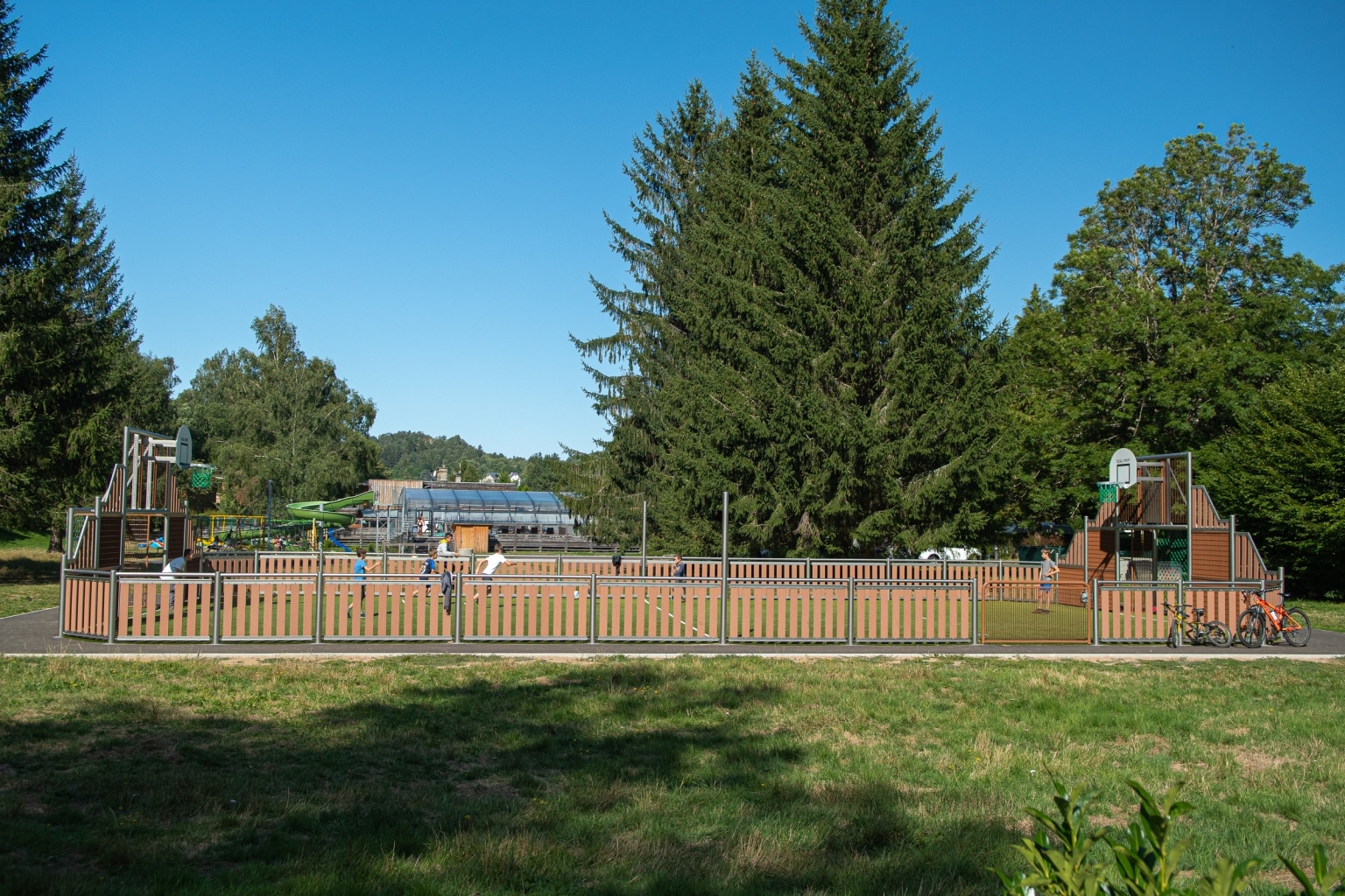 360°
Kids' club
The kids' club area.Start the 360° tour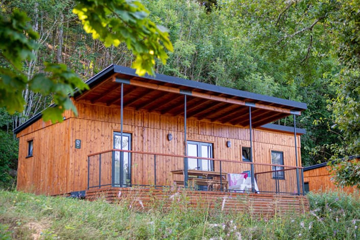 360°
Premium lodge
Our most spacious accommodation.Start the 360° tour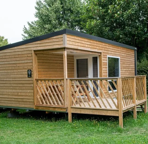 360°
Accessible bungalow (reduced mobility)
A bungalow adapted for people with reduced mobility.Start the 360° tour 360°
Bungalow
A bungalow from the comfort range.Start the 360° tour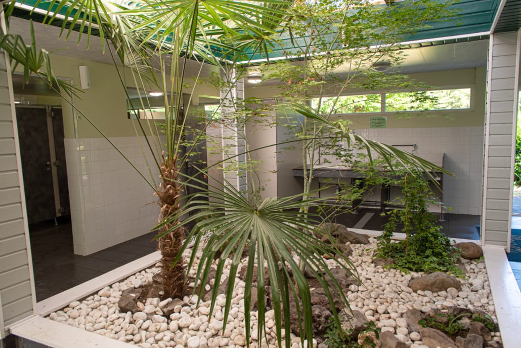 360°
Shower blocks
One of our shower blocks.Start the 360° tour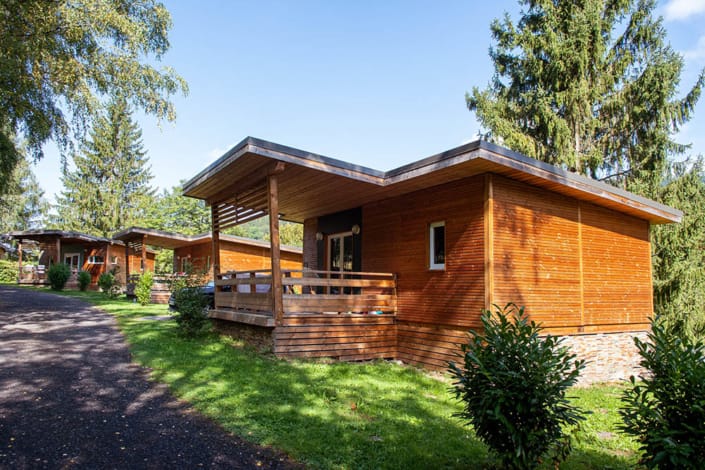 360°
Chalets
The charm of wood.Start the 360° tour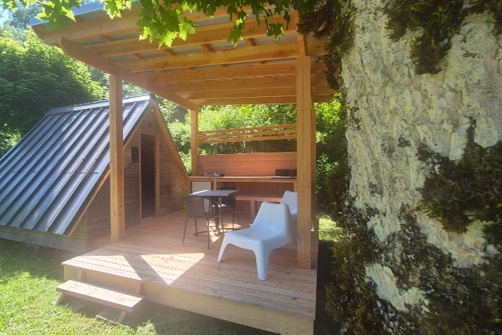 360°
Eco cabins
The wooden nest for two.Start the 360° tour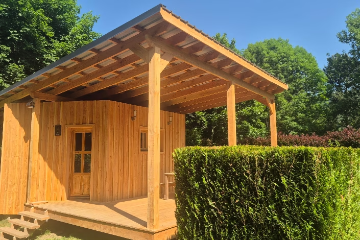 360°
Eco huts
The heated wooden hut.Start the 360° tour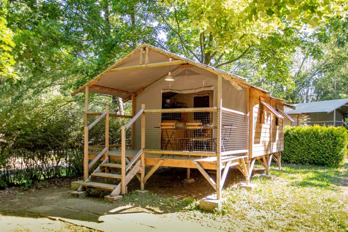 360°
Ecolodge
The lodge tent on stilts.Start the 360° tourFrequently asked questions
Good to know
Can I choose my pitch?
Tell us your wish when booking or contact us: we will do our best to meet it.Is the campsite flat?
Yes, the grounds are flat, which is rare in the mountains: ideal for pushchairs, children's bikes and people with reduced mobility.Reading the map
How is the campsite laid out?
The campsite map is easy to read: the grounds stretch along the Dordogne, which borders the campsite to the south, with the entrance and reception to the east, towards La Bourboule, and Le Mont-Dore to the west.- The entrance: it has automatic barriers, accessible with your code from 7am to 10.30pm. Car parks are laid out near the entrance and along the lanes.
- The heart of the campsite: the aquatic area, the kids' club and activity room, the fitness room, the pétanque pitch, the trampolines, the playground, the swings and the table tennis tables are grouped in the centre, a few steps from reception.
- The lanes: chemin des Sources, chemin du Dôme, chemin de la Perdrix, allée de l’Aiguille, allée de l’Ours, allée des Fées, allée du Sancy, allée du Volcan and impasse de la Rose serve the pitches and accommodation.
- The accommodation: the lodges line the chemin des Sources at the edge of the forest; chalets, ecolodges, huts and cabins are in the north of the grounds, and the bungalows along the allée de l’Ours.
- The pitches: marked out and shady, they are divided into Confort (over 80 m²) and Confort Plus (over 120 m²), with electrical hook-ups and water points nearby.
- Services: three shower blocks, a launderette, a recycling point, a shared barbecue, a motorhome service area and an electric vehicle charging point.
- The donkeys: their paddock is in the north-east of the campsite, to the delight of children.
Practical questions
Campsite map: your practical questions
Where are the shower blocks?
Three shower blocks are spread across the grounds, one of them heated, so that no pitch or accommodation is far from one. They are marked on the map with the “Sanitaire” pictogram, and water points along the lanes complete the facilities.Where can I park my car?
One vehicle is included in your booking and parks on your pitch or near your accommodation. Additional car parks are laid out near the entrance and along some lanes; an extra vehicle is charged a supplement.How does the entrance barrier work?
The automatic barriers open with a personal code, given on arrival and usable from 7am to 10.30pm. Outside these hours the campsite stays quiet and vehicles no longer circulate.Do motorhomes have a service area?
Yes, a motorhome service area lets you fill up with water and empty waste water. It is shown on the campsite map with its own pictogram.Where can I walk my dog?
Dogs are kept on a lead within the campsite, and walks for their needs take place outside, along the Dordogne or on the nearby paths.Can I get a paper map?
Yes, a paper map is given to you at reception on arrival. On this page, click on the map to open it full size and zoom in on your future pitch.Good to know
More about the campsite map
Where is reception on the campsite map?
Reception is at the entrance, on the east side towards La Bourboule. It is open from 8.30am to 12pm and from 2pm to 7pm.Where is the accessible bungalow?
Ask us when you book: we will tell you where the bungalow adapted for people with reduced mobility is located and check its availability for your dates.Can I visit the accommodation before choosing?
Yes, 11 360° virtual tours let you step inside the main types of accommodation, the pool and the shower blocks.Found your favourite spot?
Book online: real-time availability and prices.See also: The campsite · Pitches · Contact and access